 |  |  |  |
| 23rd October 2009 A day out to Dover and Samphire Hoe country park |
| Friday
23rd October 2009 started out clear and sunny, and it was time for
another day out exploring. My goal this time was Samphire Hoe country
park near Dover. It is a new man made extension of England formed from the spoil excavated from the digging of the Channel Tunnel. I started out from Catford later than I have for my previous explorations, and din't get the train until 11.31. As I walked to the station the sun felt very hot, and I took off my jacket to keep cool. Even the air did not feel too cool, and I was very comfortable in just a t-shirt. Which is pretty good for a day so late in the year. It was close on a two hour journey to Dover, and there was insufficient time when I changed train at Bromley South to smoke one last fag for the journey. Although I seem to be getting better at these long journeys without a fag, it was definitely a relief to get out of the station and light up. It was a little cooler at Dover, but not unpleasantly so, and I didn't bother putting a coat on as I set out on my travels. Later on it rained, and when I say rained I meant poured with torrential rain ! As near as I can calculate from a map, my entire walk, ignoring various meanders, was to be about 5 and a half miles. What I hadn't counted on was that I would also be climbing some exceptionally steep hills ! The first item of interest I came across was The Grand Shaft. 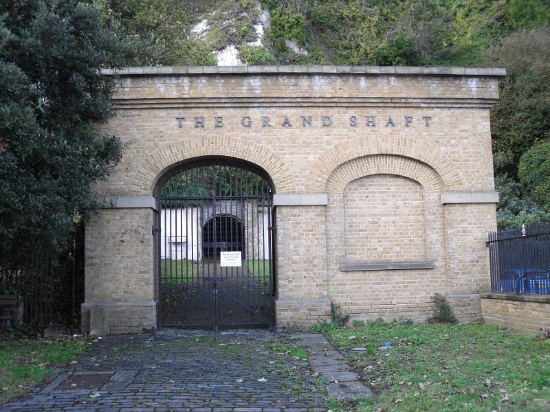 Above is the entrance to The Grand Shaft on the seaward side. It was built in 1806
to allow the fast passage of troops to the defensive positions up on
the Western Heights of Dover. It seems that it is occasionally open to
the public, but not while I was there. My walk continued, mainly uphill as I sought out the way in to Samphire Hoe. After walking along the road for some way I set out on a footpath running parallel to the road, and continued gaining height. 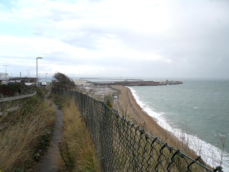 The
sea was pretty wild all the time I was in Dover, and wherever it hit
the beach, or any other obstacle the waves generated loads of white
spume. When I took the picture above the first drops of rain started to
fall. It was very light and I ignored it. 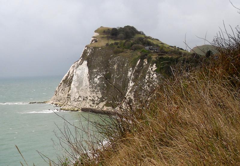 Turning
around to picture the view ahead, this is where my path was heading. I
didn't get right to the top of the cliff, but I did go as high as the
buildings that can be seen nestling half way up the cliff. Going that
far was a slight miscalculation of my navigating, and I should have
turned off earlier. I estimate that I climbed about 60 ft up the steep
path, and it was very steep, and very hard going, but it did afford
some good views. 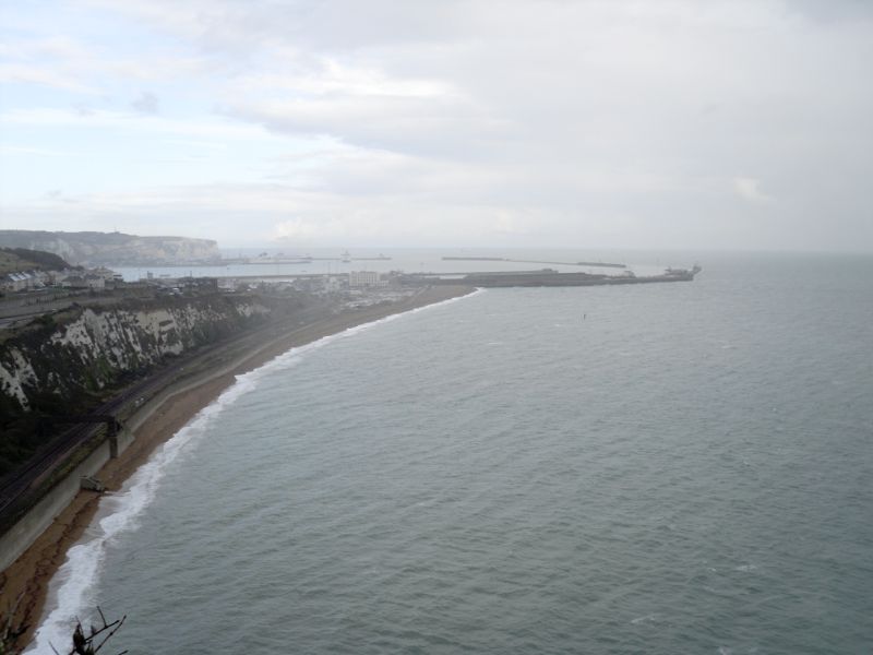 It
was at this time that the rain started to get a little heavier, and I
tried out my cagoule for the role in which it was intended. It wasn't
long afterwards that I wished I had also put on my waterproof
overtrousers. The rain added a certain mistiness to the picture above
(and there may have been rain on the camera lens too). In the distance
is Dover Harbour with the famous white cliffs of Dover to the rear left
of the picture. Under the cliffs of the middle, and bottom, left of the
picture, but not really visible here, are the railway lines from Dover
to Folkstone. 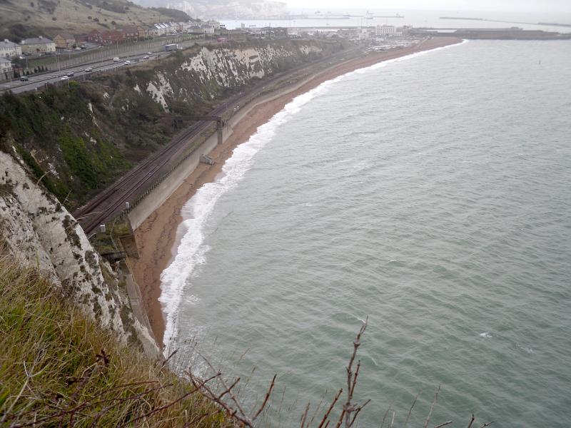 The
picture above shows the railway track better as it hugs the cliff face,
and disappears into Shakespeare tunnel behind the cliff edge on the
left of the picture. As I climbed back down the steep path, to get back on track to my destination, the rain got heavier and heavier. Eventually it became a torrential downpour, and had it not been for my cagoule I would have ended up being soaked from head to toe. In fact, because I had left it too late to put my over trousers on, I ended up being soaked from the waist down. Eventually I reached my destination, or at least the signpost to my destination. 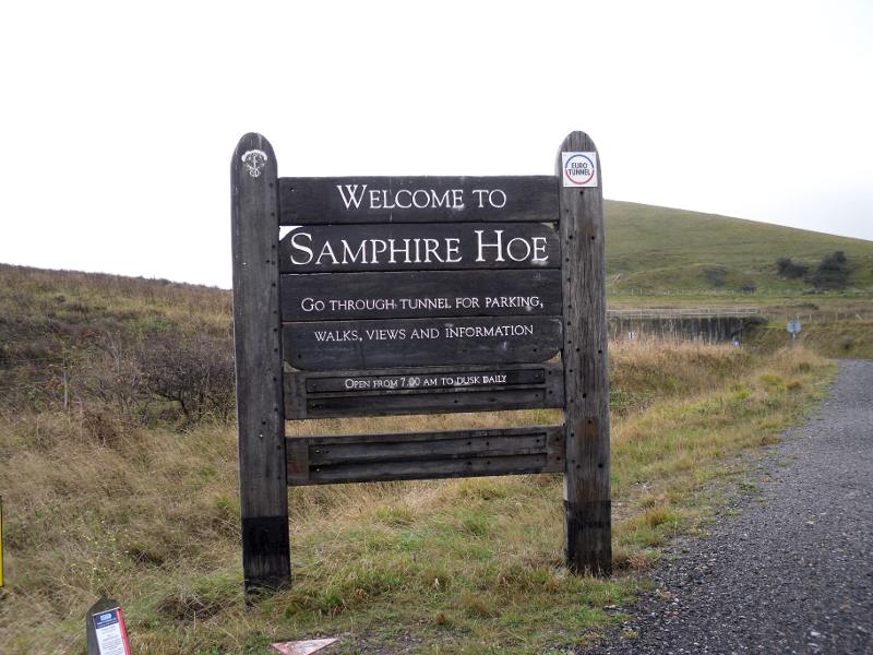 The
above picture is actually out of sequence. Whe I arrived at this point
it was raining really hard, and I could barely see through my glasses,
let alone attempt to use my camera. I actually took this picture, and
the one below on my way out. 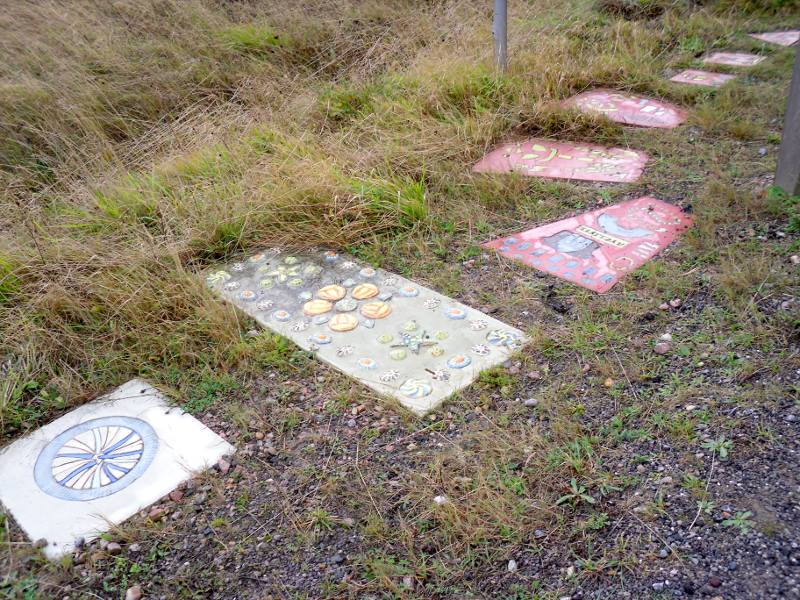 On
the ground leading up to the entrance sign were these rather curious
bits of art carved, painted or stuck on slabs of stone. I never did
find out exactly what they were, or what they were suppose to
represent, but they looked good in an arty sort of way. 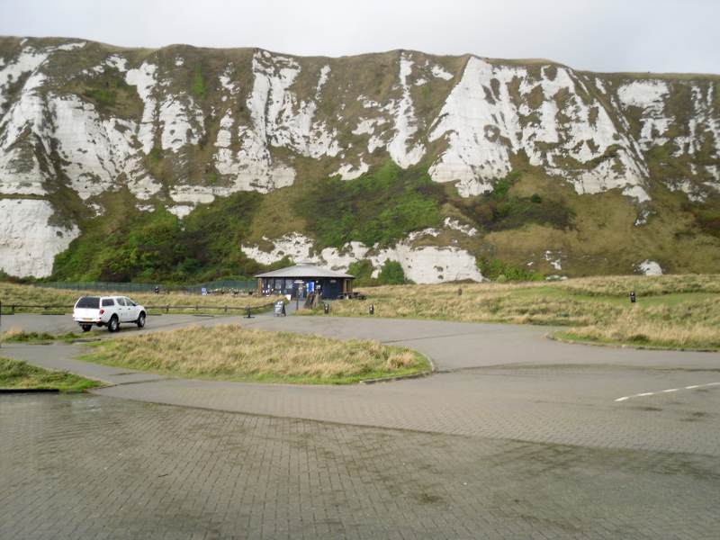 Dwarfed
by the towering cliffs is the Samphire Hoe visitors centre. This is
maybe a quarter of a mile from the entrance sign, and to get there
means walking through a tunnel that goes through the cliff from the
road beyond. The tunnel itself accounts for at least half that
distance, and you descent about a 100 ft while walking through it. That
also means that you have to walk back up on the way out, and that was
really knackering ! There was quite a lot of ground to explore on Samphire Hoe, but with soggy trousers I didn't feel much like exploring too far. One feature I did take a look at was a sort of faux lighthouse. 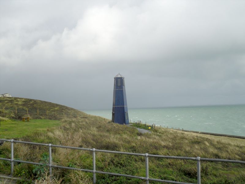 Inside
it is just a hollow shell with some educational sort of stuff on the
walls, a telescope, and some sort of commentary speaker that I didn't
bother to turn on. In theory a lamp could be hoisted up to shine from
the top windows, and it would actually be a working lighthouse, albeit
a rather poor one. Near the visitors centre is a memorial to those who died building the channel tunnel. 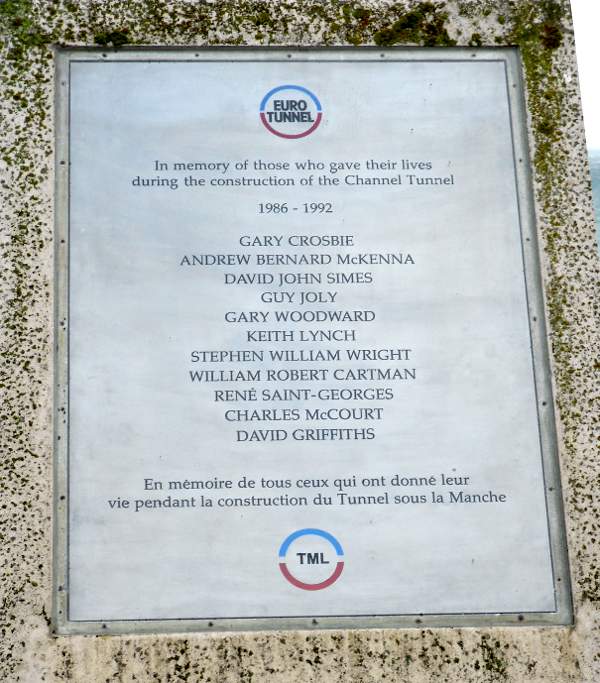 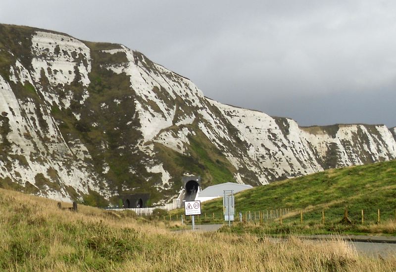 Looking
back from the vicinity of the visitors centre you can see three
tunnels. The two to the left of centre of the picture are the railway
tunnels for lines coming from Dover, and still hugging the cliff face
as they make their way towards Folkstone. In the centre of the picture
is the access tunnel for cars and pedestrians to Samphire Hoe. You can
see how steep the path rises to meet the tunnel, and it continues at
roughly the same steepness all the way through the tunnel. I just had
to stop and take a good breather by the time I reached the far end on
my way out. 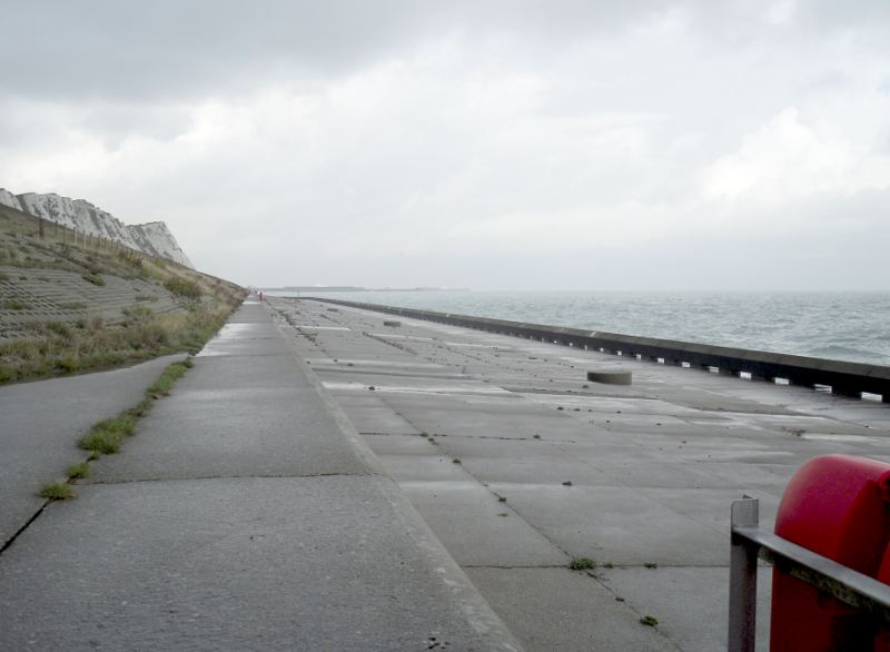 On
a nice day the sea wall would make for a pleasant walk, but when I was
there it was incredibly bleak and uninviting. The signpost pictured
below, that is strange in that it is horizontal on the ground, shows
the limits of walking either way along the sea wall. 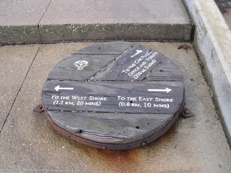 I
hadn't seen (or explored) half of what I could have, but I was still
feeling quite soggy around the trouser area, it was getting late,
and I had a long way to go to get back to the station. The visitor
information centre suggested a potentially better way back to the
station and I decided to give that a go. So with one last picture,
looking back as I entered the tunnel on my way out, it was off for more
adventures. 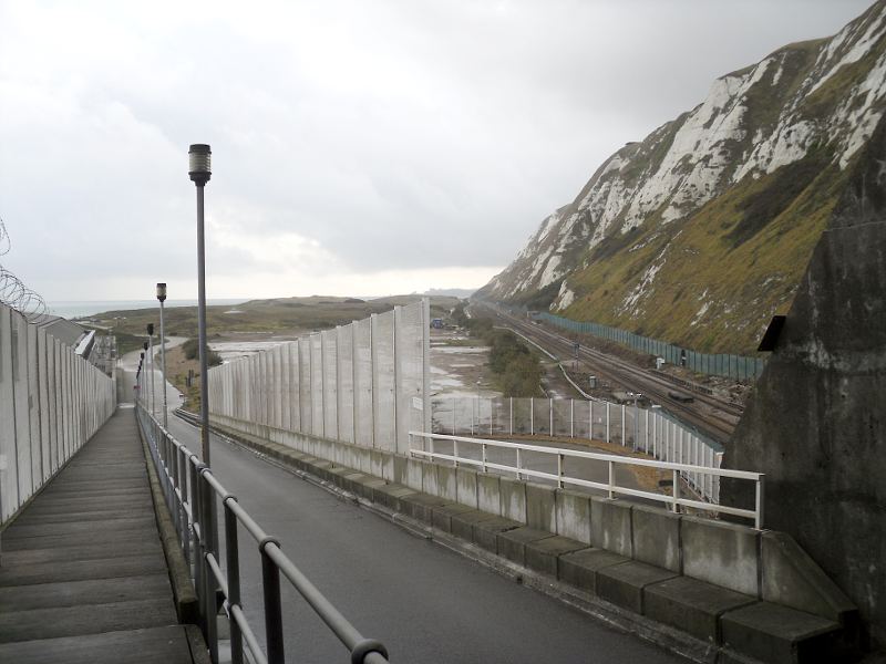 My
route back was to take me over The Western Heights. This is a further
ridge of chalk behind the cliffs. At the point I crossed the land is
close to 300 ft high, and I had to climb 225 ft in as little as half a
mile (or maybe even a third). Having puffed, panted, and probably come
close to death getting there, I was rewarded with some spectacular
views even in the murky weather I was now enduring. 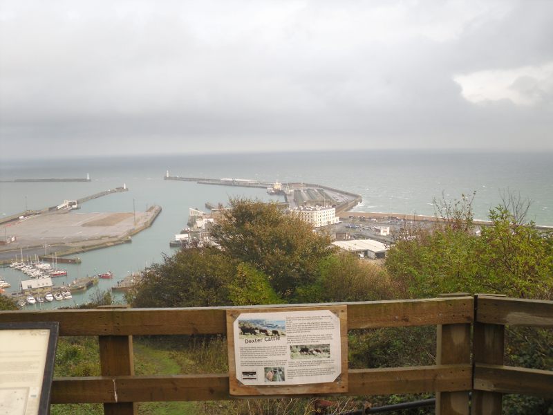 The view above is looking down on the western docks at Dover. In the
centre of the picture you can just make out the long narrow building
that used to be Dover Harbour railway station which was closed in 1994. The picture below, which is slightly fuzzy, is a close up of the station buildings.
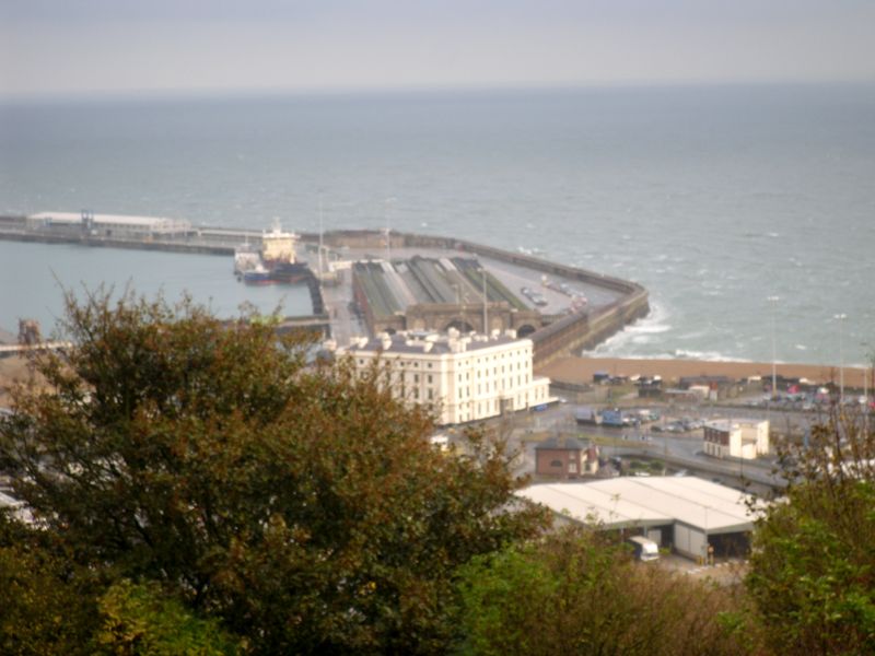 To the east of that view is the section of harbour that is used for the cross channel ferries. 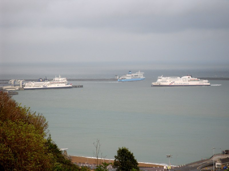 My
walked continued at these rarified heights until it was time to come
down again to get to Dover Priory station. The station is at a lower
elevation than where I started the most significant part of the climb,
and the going down was very steep, and in some ways almost as hard as going up. 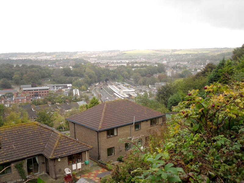 ....and in close up. 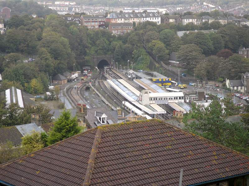 I
was useful that, with just about a 100 ft down to go, I came across a
pub where I had a delicious pint of mild before finally getting down to
the station. I didn't have long to wait before I caught the 16:48 train train back towards Bromley South where I would get the train back to Catford station. I arrived almost in Catford nearly 2 hours later and very keen for a fag. It was dark before I even reached the very outskirts of London, and fully night time by the time I reached home. It was a good day out, but all that hill climbing was hard work, and I definitely felt it the next day ! My cagoule was an incredibly useful addition to my "expedition" kit, but it is a shame that I didn't think to put on my over trousers before it was too late. I was also testing out some new hiking shoes. They were quite good, but not always as comfortable as I hoped. They kept my feet warm and dry, and had plenty of grip on some of the slippery slopes I had to traverse. Their main failing is that they were probably too loose a fit lengthwise. Going down some of the steep slopes my feet would slip forward and my toes would get pinched a bit. On the plus side their springiness did save my feet from a lot of pounding, and I think they stayed less sore than on other days out. |