| Saturday17th
April 2010 Walking from Herne Bay to Whitstable (via the beach) |
| For
my fourth outing this year I originally decided to have a walk around
Whitstable, but I ended up walking from Herne Bay to Whitstable mostly
along the shoreline. It was a beautiful bright sunny day with an almost
clear blue sky. The temperature was just high enough that I was able to
do most of my walk quite comfortably without a coat on. It was a little
cool when I first started to walk, but at the end I was warm enough to
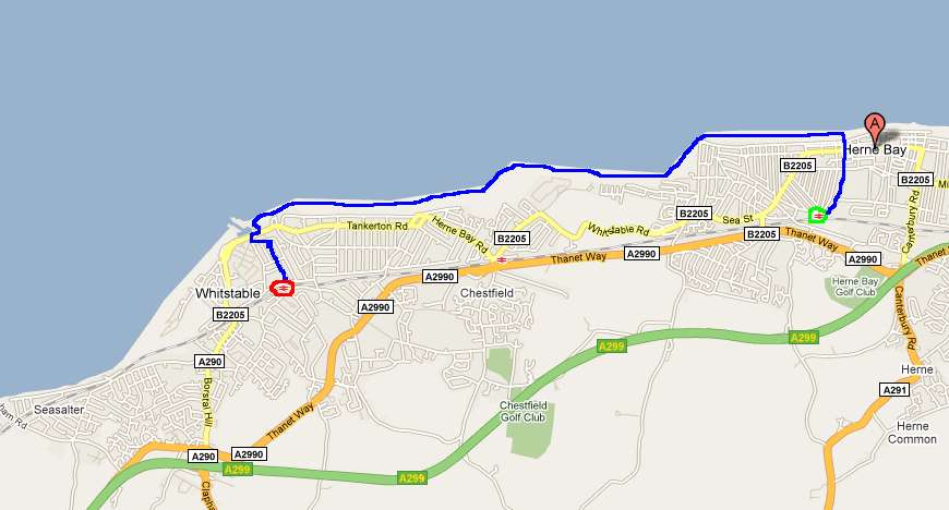
start sweating. The day out did not go that smoothly, and I have listed all the problems on my blog here. Most of these problems were minor inconveniences, but one really annoyed me. It was purely my own fault that I lost the record of my walk as recorded my the Cardio Trainer software on my Android smartphone. The last time I looked at the recording I had walked over five miles, but I have no idea exactly how far I really walked. I estimate it to have been around six miles. Instead of showing a real screenshot of my walk I have had to hand draw the route I took. My mouse work in painting in the route on the map below was a bit unsteady, but it gives a good idea of where I went. |
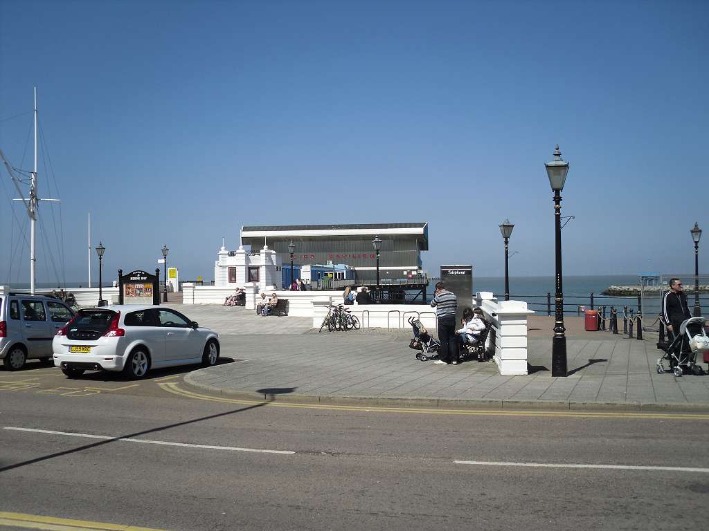
| The
first thing I took a picture of when arriving at Herne Bay was the
entrance to the pier. I have a certain fascination with piers even
though I hate all the modern amusements that tend to be on piers. |
| I
prefer to walk past all the bleepy amusements and walk to the end of
the pier which is usually populated by quiet anglers - but not this one. |
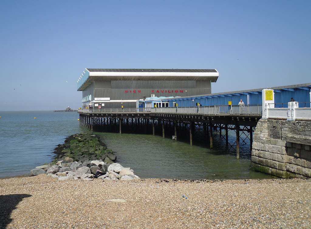
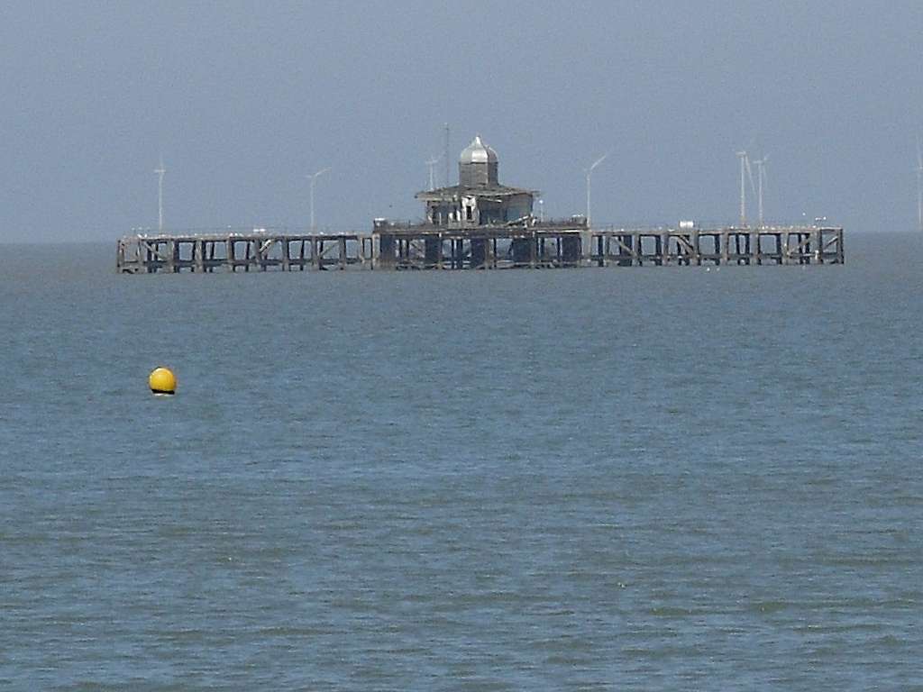
| Herne
Bay pier has had a very complicated past, and many times has it been
damaged by storms. In 1978 the middle section was finally damaged
beyond repair and demolished. The end of the pier now sits out in the
sea like an island inhabited only by seagulls and their droppings.
Plans are being made to repair and renew the pier, but in these
difficult financial times it will probably be a long way in the future
before I will be able to walk to the end of the pier at Herne Bay. |
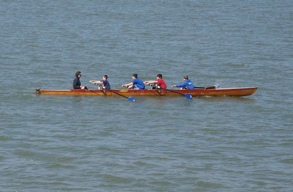
| The
coastline between Herne Bay and Whitstable is very popular for marine
sports. The rowers above had probably rowed several miles along the
coast from Hampton Pier |
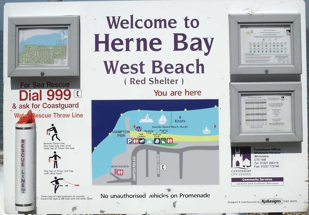
| This
whole photographic record of my walk could almost have been just of
signs along the coast. Canterbury City Council seem to have been very
generous with all their signs apart from some more useful ones like
"this way to the railway station" ! |
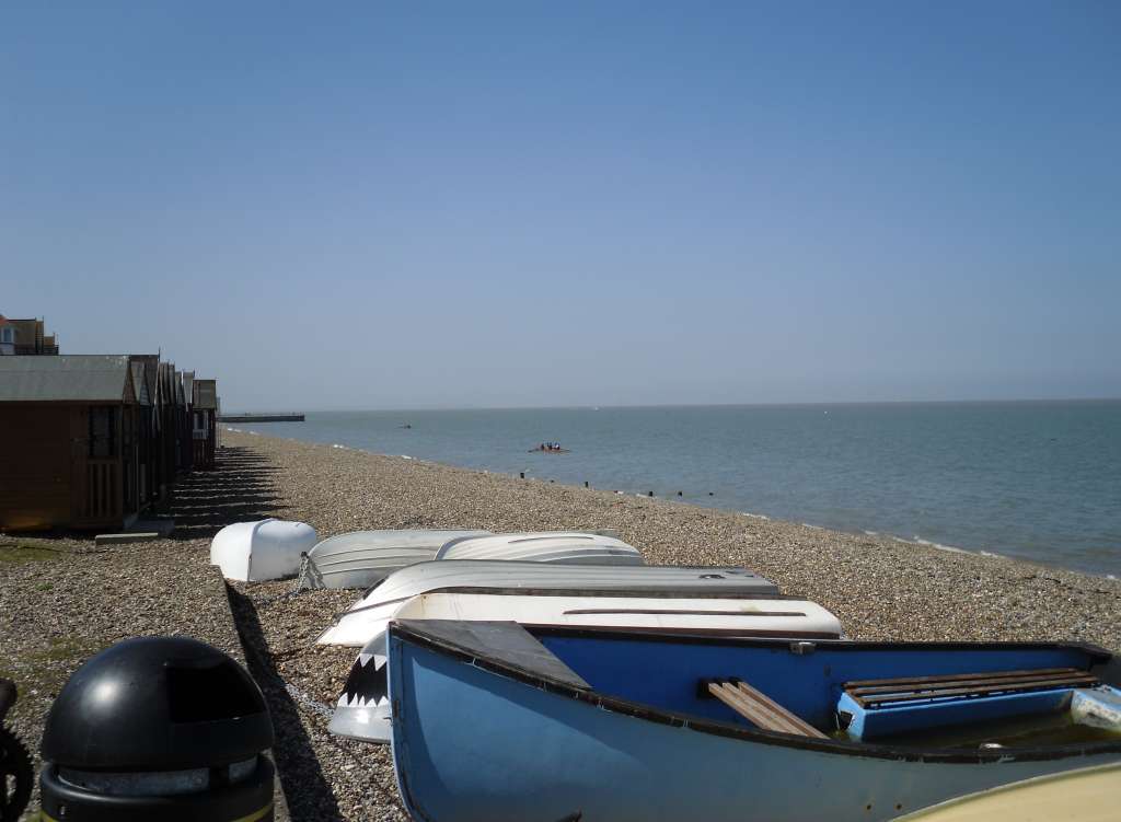
| This view is
west towards Hampton Pier from where many boating activities seem to be
placed. |
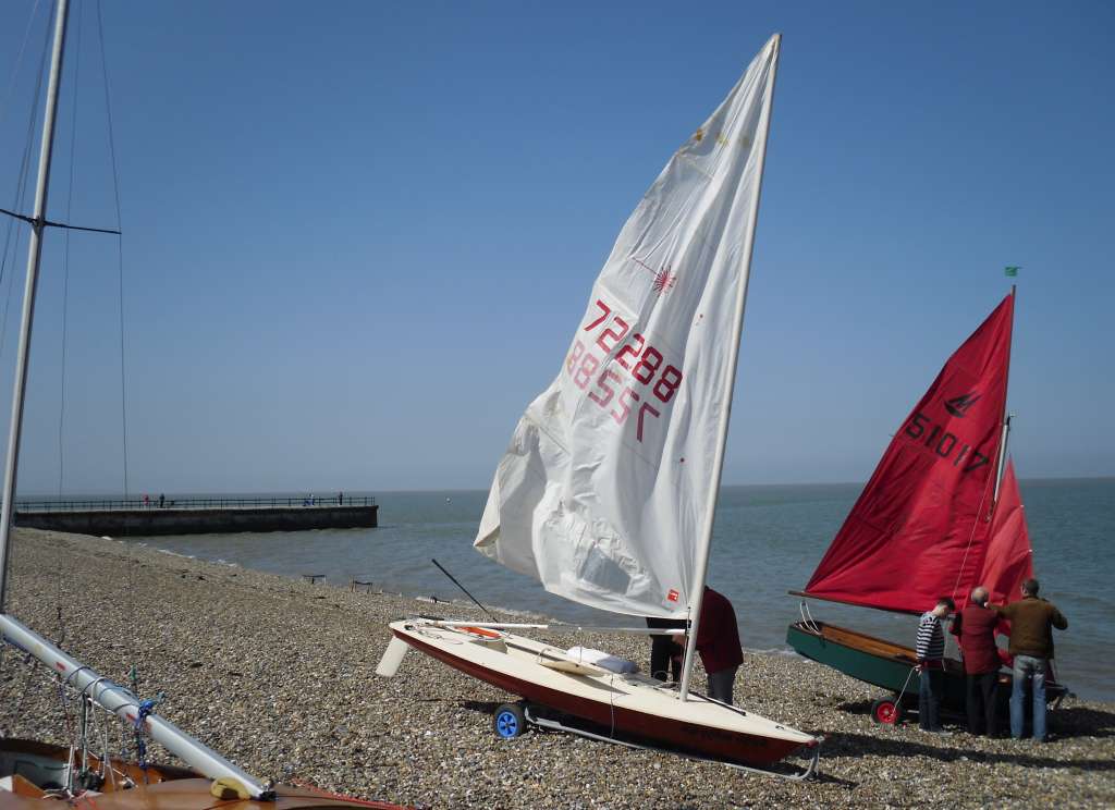
| Getting
closer to the rather short Hampton pier, and a few boats in full sail
while still on the beach |
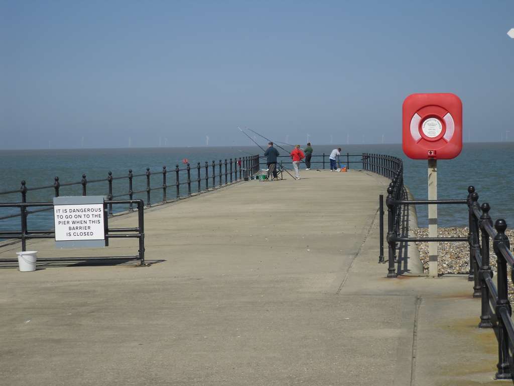
| There's
not much of it, but this is Hampton Pier. It is set on the edge of a
deep bay, and at high tide it is probable that the water at the far end
is deep enough for larger boats to call at. |
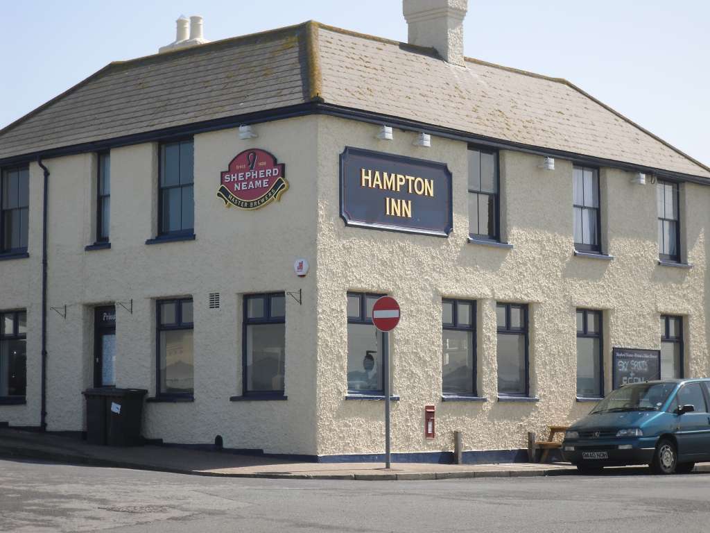
| Conveniently
situated across the road from the end of the pier lies the Hampton Inn.
It was beginning to get thirsty work walking this far but I resisted the temptation to call in for a pint (but with hindsight I wish I had). |
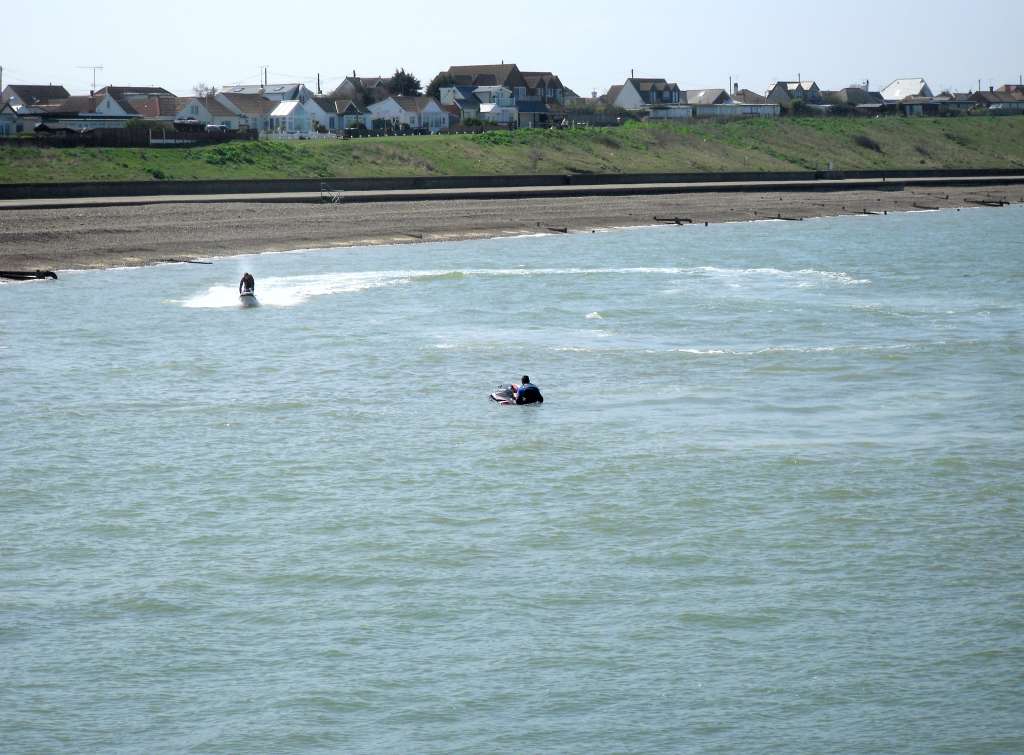
| Within
Hampton Bay there is an area set aside for those mad fools who like
mucking about with Jet Skis |
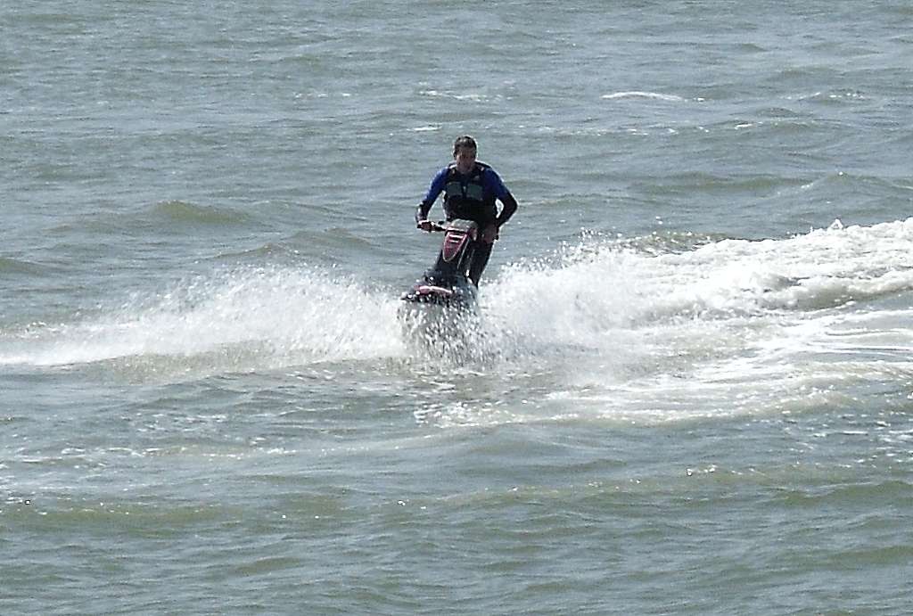
| I must admit
it did sort of look fun on their Lambretta motor scooter resembling
craft. |
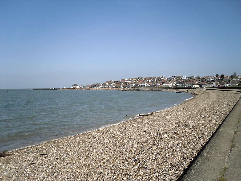
| This is the
view looking east across Hampton Bay with the glorious blue sky above. |
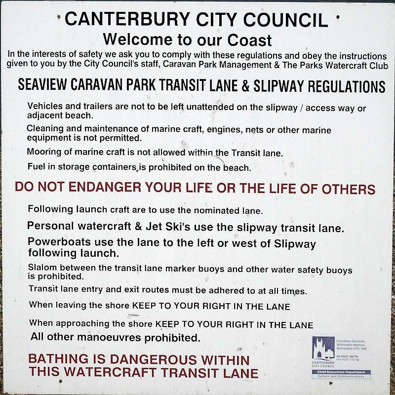
| More signs
along the way. |
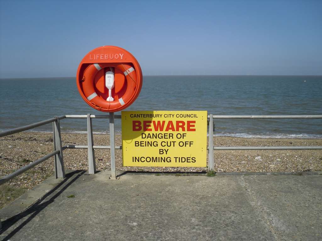
| Yet more
signs along the way. |
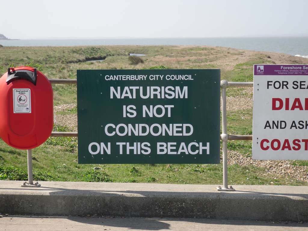
| It seems
that this bit of coastline is often used by naturists. The sign says
naturism is not condoned, but that is not exactly the same as saying it
is banned. Sadly I never saw any naked bodies, although I did see a
head pop up from behind a small mound that might have had a naked body
attached to it. |
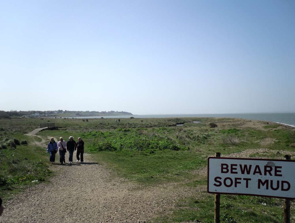
| Away from
the gravelly paths across this little peninsular the sign warns of soft
mud. I did see a boggy patch, but most of the ground seemed dry to me.
It is around the beach here that the nudists presumably gather. |
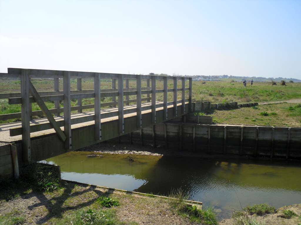
| Running through the middle of this (sometimes) muddy peninsula is a small river that is crossed by this wooden bridge. |
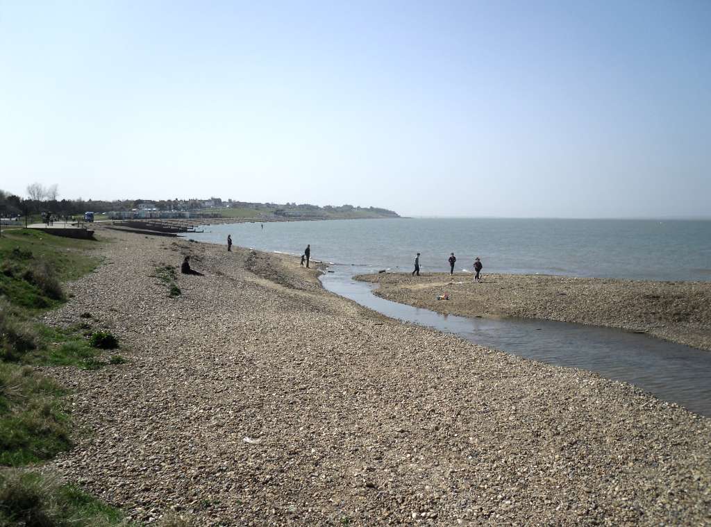
| So far on
all my coastal travels I have not passed the point where a river meets
the sea in a natural way (not counting the River Thames). I have seen
streams, or maybe drainage ditches piped into the sea, but this view
above is the first for me, and it looks nice (although I have no idea
why). |
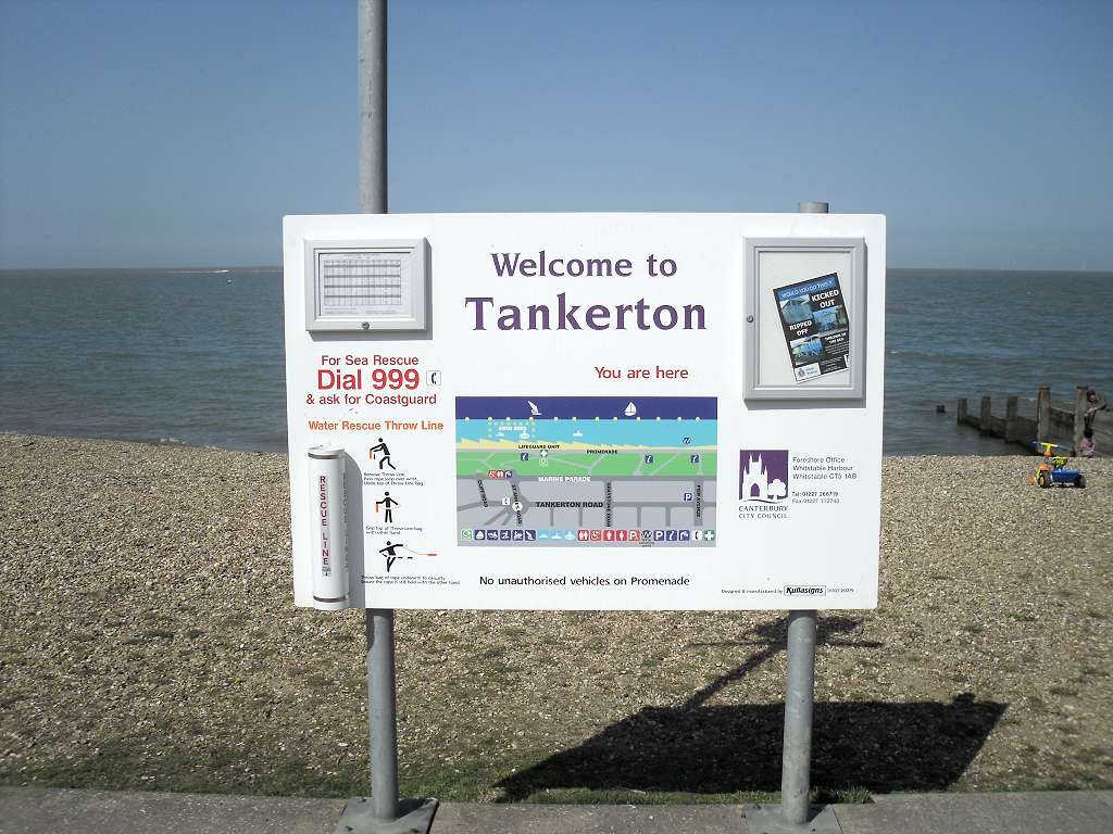
| Another of Canterbury City Council's sign that I passed when I reached Tankerton. |
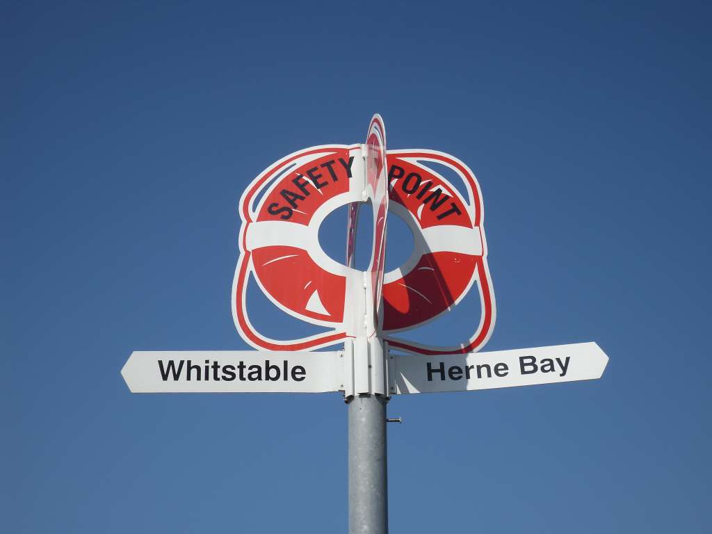
| I've included this picture because it shows just how georgeous the blue sky was. |
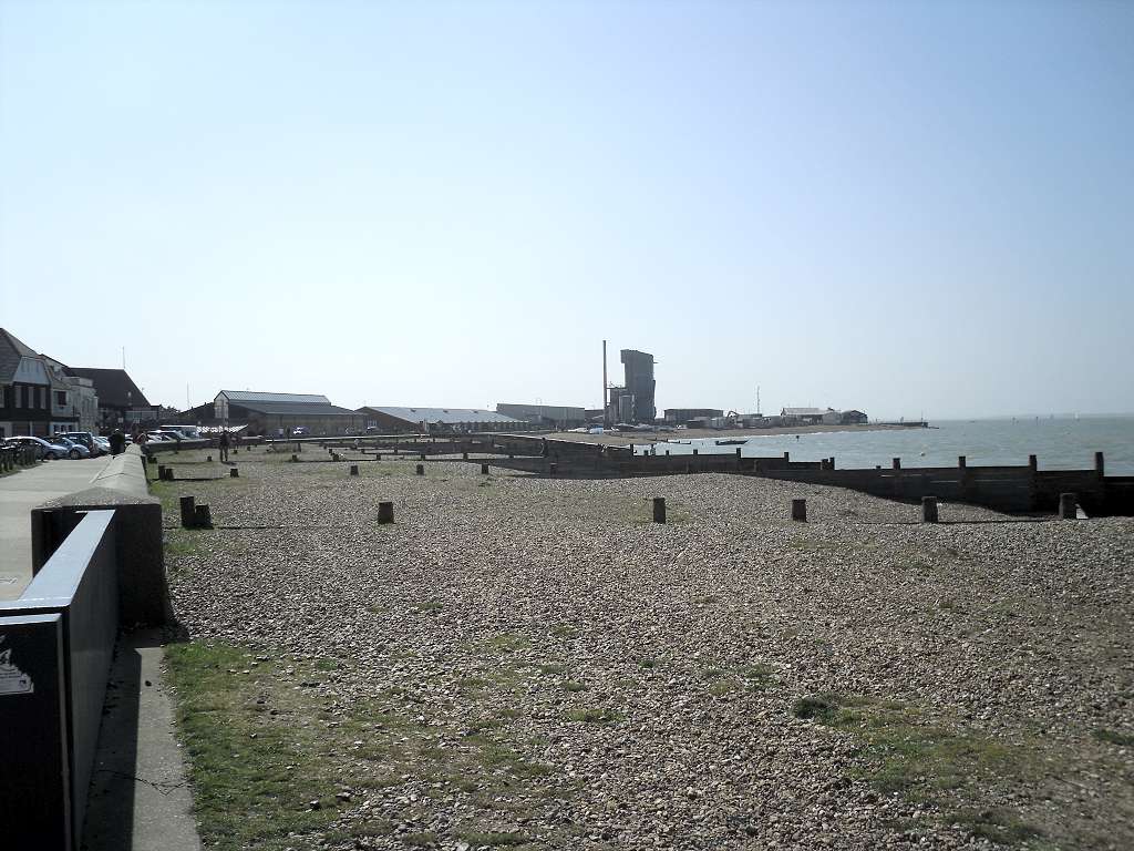
| Approaching
Whitstable Harbour - It was at about this point that I saw the last
recorded mileage on my mobile phone. I am certain it was in the region
of 5.2 miles, and this is still close to a mile away from the railway
station. Despite some man made difficulties I enjoyed this walk. There
were a couple of other natural problems that I have not mentioned. Of
these the most significant was that it was high tide again and I did
not bother to get close to the waters edge. A lesser problem, and one
that everybody would disagree with, is that in many places the beach
was too crowded for my liking. In practice this meant there was at
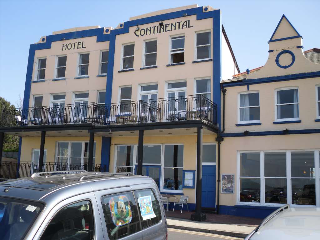
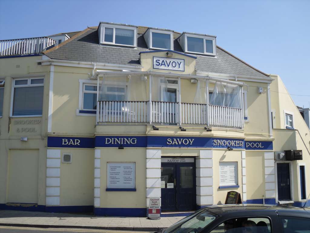
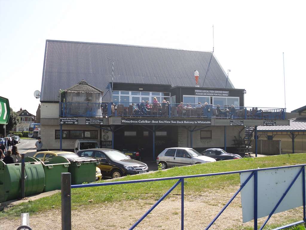
least one person occupying the beach between adjacent breakwaters ! My final three pictures that I will show without comment, are three establishments in the Whitstable Harbour area. |
