 |
 |
 |
 |
 |
 |
| A 5.5 mile walk from Shoeburyness to
Westcliff 29st August 2009 |
I wasn't sure if I really wanted to do this walk when I got up in the
morning. I felt a bit tired, and there were some unknowns to the route
I was planning on taking. On further consideration I decided I really
had to do it. If I stayed at home I would be bored and probably eat too
much. Besides which, it started to look as if the weather would be
really good for a walk beside the sea.
I set off a lot later than I have done for my previous expeditions, at almost 10 am. Things got off to a bad start when the first two cash machines I visited in Catford were not working. Further trouble followed after getting a bus to Lewisham when I missed a Docklands Light Railway train by mere seconds. It was only a four minute wait for the next one, but that meant that I just missed the next mainline train from Limehouse to Shoeburyness. That didn't feel like a very good start to the day, but in the end it was to work out alright. The train I did get from Limehouse station only meant waiting for something like 10 minutes, but it was only going as far as Southend. Fortunately I noticed that a Shoeburyness bound train was following just 10 minutes behind. That gave me a good opportunity to break my journey at Chalkwell station and have a fag.
Upon arrival at Shoeburyness I was surprised to see how far out the tide was.
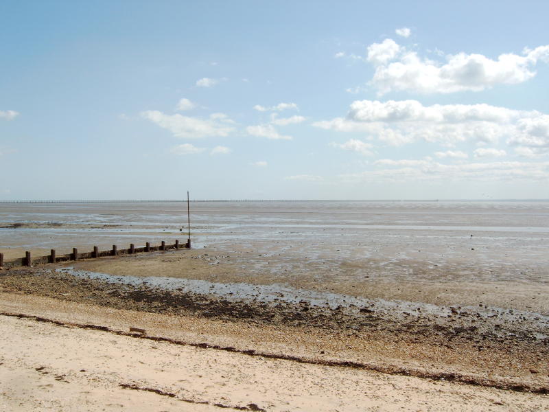

It's
hard to appreciate from the above picture just how far out the tide has
gone, but it may have been out as far as a mile, maybe more, but I
didn't fancy walking out as far as I could go to find out. I did walk
out a fair way though.

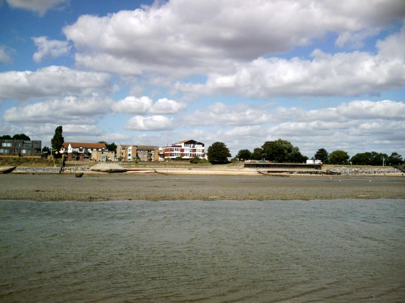
The
picture above is taken from about as far out as I went. The water in
the foreground is a channel about 30ft wide, and about 4 or 5 inches
deep. There is a similar one half way back towards the highwater line.
Behind me the mudflats seem to stretch to the horizon. I saw kite
surfers walking on the mud as far away behind me as the building are in
front of me. For this bit of messing about in the water I chose the
black canvas shoes that I had first tried out when I walked from
Sheerness to Minster. They seem the most suitable for this sort of
thing, and were comfortable enough that I left them on when walking
inland.
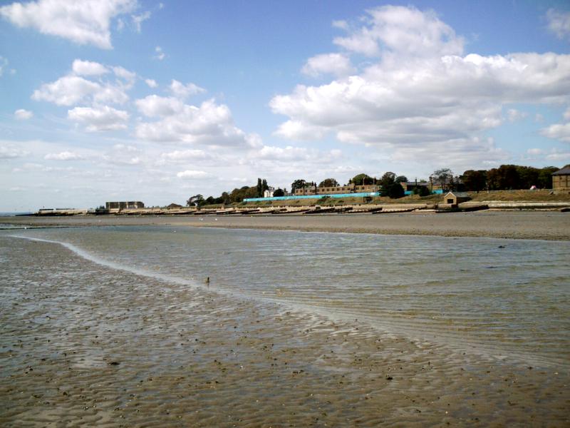

The
view above is the shoreline to the south of Shoeburyness. Just beyond
the left hand edge of the picture the shore bends round to go west
towards Thorpe Bay where I walked with Patricia on Friday 21st August 2009. What
I wanted to do was to walk all the way along the foreshore to Thorpe
Bay, and continue walking to beyond Southend. Unfortunately this bit of
foreshore borders on Ministry Of Defence land, and is usually off
limits. So still in my wet and sandy/muddy black canvas shoes I started
to walk inland to bypass that bit of foreshore. I had an Ordnance
Survey map with me, it does not show road names, but I think I
navigated the inland roads by the most economical route to arrive back
at the sea a mile or so from Thorpe Bay.The sea there seems to be well used by kitesurfers.
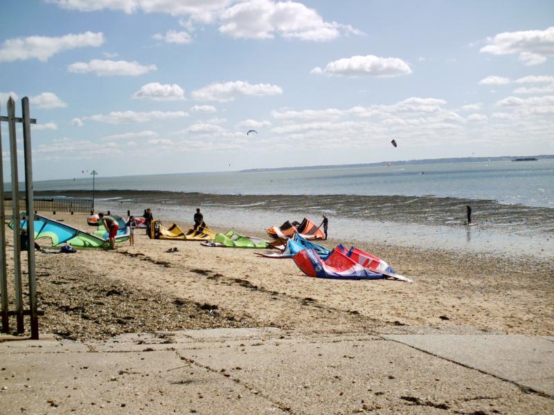
Kite surfers kit on the beach......
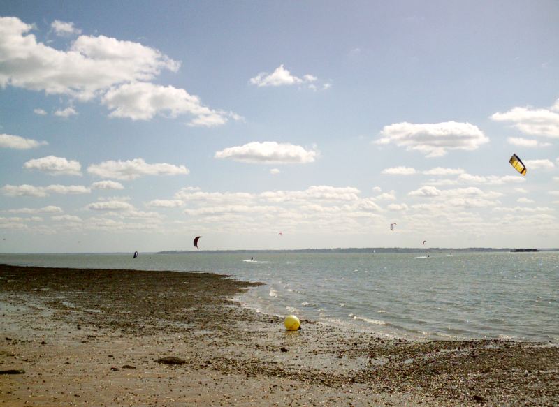
...and kitesurfers in action
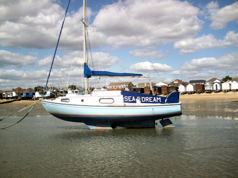
As I walked along the tide was so far out that I was able to walk behind many of the boats that were moored near Thorpe Bay.
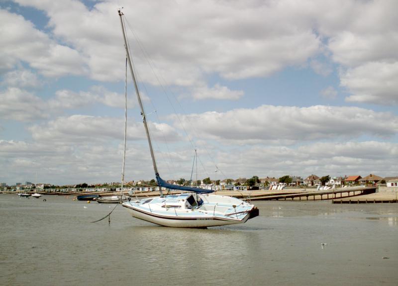
A yacht lying at anchor in very shallow water, and I am twice as far from the shore than it is.
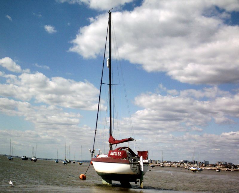
It's sort of weird to think that I am walking further out to sea than most of the boats shown above.

Kite surfers kit on the beach......

...and kitesurfers in action

As I walked along the tide was so far out that I was able to walk behind many of the boats that were moored near Thorpe Bay.

A yacht lying at anchor in very shallow water, and I am twice as far from the shore than it is.

It's sort of weird to think that I am walking further out to sea than most of the boats shown above.
I continued walking in the sea, quite a long way out from the beach for possibly over a mile. It felt strangely nice,
but I kept a good look out for the tide coming in, and other dangers. A
few times I did cross some soft bits of sand, but I avoided some of the
darker areas which I believed would be very soft and boggy. Apart from
being maybe a hundred yards further out to sea, I covered the same
ground (or water in this case) as I did when I walked with Patricia 8
days previously.
Although I thought that my black canvas shoes were comfortable I found they were not as well behaved as I thought. As I approached the more densely used beach near to the centre of Southend I decided to change back into dry shoes, and continue my walk along the road that parallels the beach. Upon taking the black canvas shoes off I found that there was blood seeping from blister on my right little toe. I had blistered it the last time I went walking, and it had not properly healed before a new dose of sand and mud ground the new, and still very soft, callous off. I suppose it was the salt in the seawater that stopped me feeling any pain from it while I was walking. With dry shoes and sock on it did hurt a little bit, but it was not bothersome.
By the time I reached Southend pier it was my legs and the soles of my feet that were aching more than that blister. I did consider giving up at that point, but decided to press on. I knew that Westcliff station was little more than a mile away, and if I ached too much I could give up at that point rather than continue to my planned destination of Chalkwell station which was another mile beyond that.
When I showed Patricia Southend Pier it was high tide, and the sea looked very deep and forbidding as we trundled along on the pier railway. I pointed out that on the Ordnance Survey map it showed that at low tide the pier would be almost sitting on the exposed mud, and as I passed it today that was almost the case. I had considered going back onto the mudflats to actually walk under the pier, but that would have meant putting on my wet soggy shoes again, and I didn't fancy that (or the extra damage that would likely be done to my poor right little toe).
Even at low tide the far end of the pier is still in relatively deep water, and it is possible that boats can still dock there. I didn't go onto the pier to check this for myself, but as I continued to walk towards Westcliff I was able to look back towards the pier and take a picture of a sailing ship passing quite close to the end of the pier.
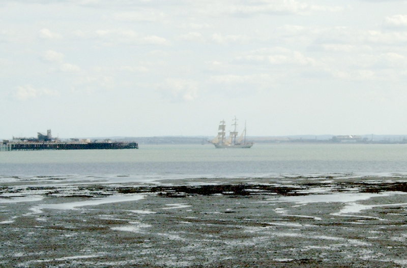

Another
thing I passed on the inland side was something that I had heard of,
but had never seen before. It was the Southend cliff lift, or funicular
railway. It was closed for some sort of maintenance so I never got to
see exactly want was there, or have a chance to ride on it. (More details here and here.)
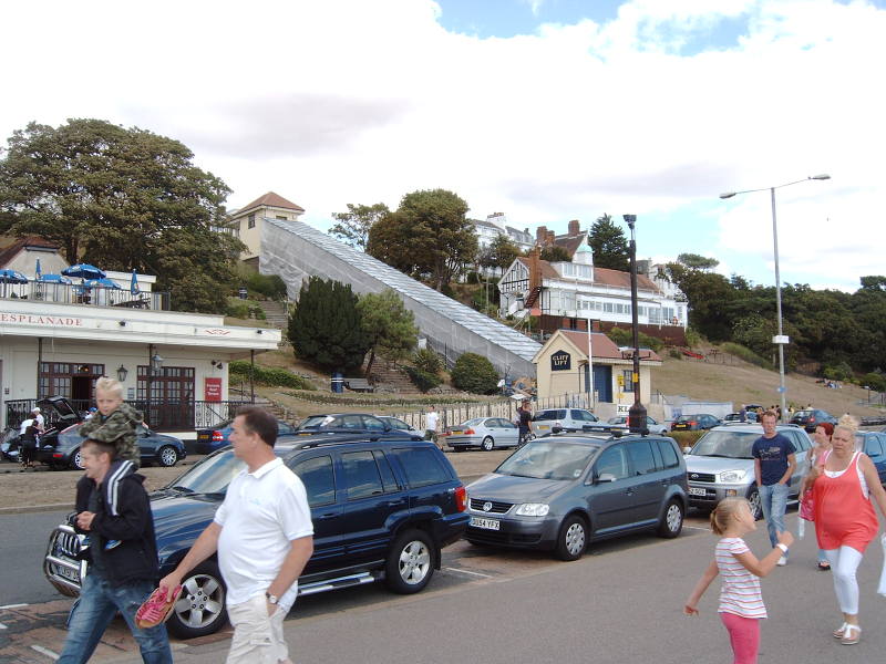
I believe that it is actually a funicular, or rack and pinion railway.....
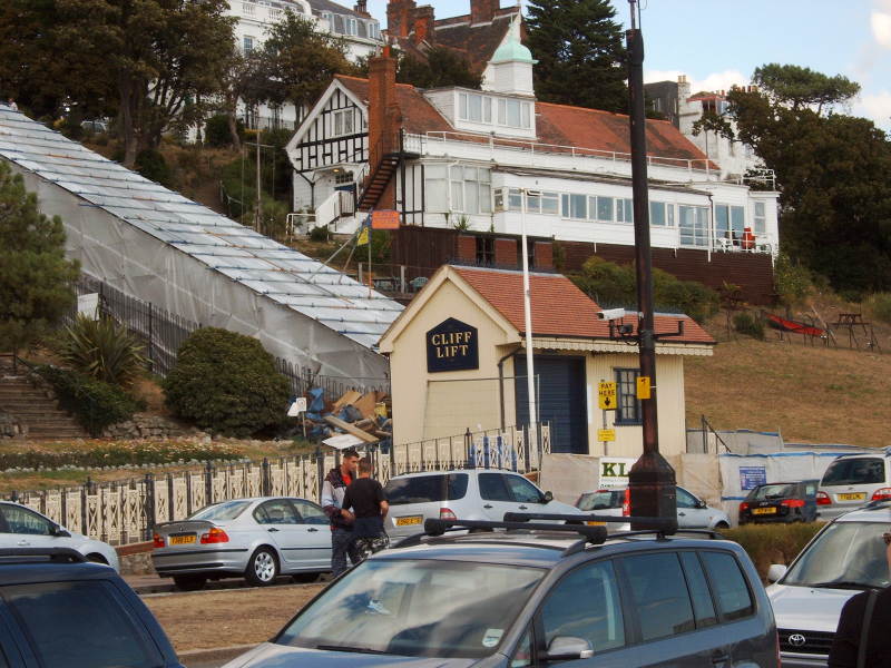
.....but they definitely call it The Cliff Lift

I believe that it is actually a funicular, or rack and pinion railway.....

.....but they definitely call it The Cliff Lift
I
continued walking, but I was getting tired faster than I thought. What
I needed was a pint, but I didn't fancy any of the establishments I
passed along the way. It seemed a lot further than it appeared to be on
the map, but eventually I came to sign pointing towards Westcliff
station. Now I had to make a decision as to whether to continue walking
for the last mile to Chalkwell station, my planned destination, or to
give up at that point. I chose what I thought was the easy way out and
decided to give up. What I didn't realise was that I had a very steep
hill to climb to actually reach the station. I felt very knackered at
the top of the hill. It might have been better to carry on because I
know that Chalkwell is a lot closer to sea level.
There would have been another reason to carry on to Chalkwell.....the whole day out would have been a lot healthier. While waiting at Westcliff station I noticed that the vending machine on the platform seemed to be showing a permanent credit of £1.30. Much to my shame I helped myself to quite a few items, and amongst those items were a couple involving chocolate. I must admit I did find it surprising how much of a lift I got from ingesting some of that sugary stuff. My feet and legs still ached, but I did feel something almost like a surge of energy, and somehow that made the journey back to Limehouse pass a lot quicker.
My best estimate, based on carefull plotting on my Ordnance Survey map, was that I covered a mere 5.5 miles (Google maps suggested 6.1 miles), and that seemed quite enough. It did feel further than that, and there is probably good reason for that. There was the hill climb at the end. Then there was all the walking through water, and the walking on loose material, often on an incline, along the foreshore. I also did it mostly non-stop, and a far quicker pace than most of the bloody annoying tourists clogging up central Southend. In fact, when walking along a paved surface I was practically doing the same speed that I use when commuting. I think I would like to claim that I put in the same effort as a walk of at least 7 miles on fairly level paved ground.